Latest Software Releases from BISim
Contact Our Team
For more information about how Halldale can add value to your marketing and promotional campaigns or to discuss event exhibitor and sponsorship opportunities, contact our team to find out more
The Americas -
holly.foster@halldale.com
Rest of World -
jeremy@halldale.com

Bohemia Interactive Simulations (BISim), has made the latest releases to its flagship products, VBS4 and VBS Blue IG.
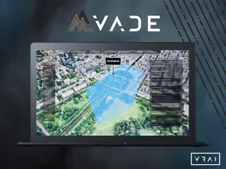
VBS4 is a whole-earth virtual and constructive simulation and simulation host which fully supports a range of military-specific training and mission rehearsal use cases.
VBS Blue IG is a high-performance, CIGI-compliant, 3D whole-earth image generator designed to support the full spectrum of land, sea, air and space use cases.
VBS4 and VBS Blue IG 22.2 include many new features, ease-of-use upgrades, and performance enhancements. Some of the new features include updates to the VBS4 map, volumetric clouds, 3D grass, and global buildings and roads.
VBS4’s 2D map has undergone a major overhaul and now supports layers. Users can select layers from online sources (e.g., Google Maps, Bing, OSM, etc.) as well as local MBTile formats which can be generated using open source tools. Layers can be ordered, styled, and blended to create a custom mapping for each training scenario. A new map export feature has also been added, which allows users to create printable maps in any style, and scale with additional features.
The latest VBS4 release adds new volumetric clouds, which give true 3D volume to the clouds, improved lighting, and cast shadows onto the underlying terrain. Cloud density can be changed, and, in upcoming releases, users will have further detailed control over the types of clouds in the scene.
VBS4 and VBS Blue IG 22.2 include global, regionally-specific 3D grass and other ground cover vegetation. The 3D ground cover enhances the realism of all scenes. Importantly, ‘fair fight’ has been factored into the implementation, so entities (e.g., soldiers) lying in the grass are hidden from other entities even at extreme distances. Users moving through grass also flatten the grass as they move.
With VBS4 and VBS Blue IG 22.2, users can access updated, optionally downloadable, world buildings and road data. This updated data is built from the most recent OpenStreetMap source, which greatly improves building and road coverage everywhere in the world. The new world building and road data also provides enhanced procedural building textures for a more natural appearance in every location.
To learn more about the releases and its new features, visit BISim at booth #1071 for the Interservice/Industry Training, Simulation, and Education Conference (I/ITSEC) in Orlando, Florida, from 28 November to 1 December.


