Integration of High-Fidelity Terrain Data Unveiled
Contact Our Team
For more information about how Halldale can add value to your marketing and promotional campaigns or to discuss event exhibitor and sponsorship opportunities, contact our team to find out more
The Americas -
holly.foster@halldale.com
Rest of World -
jeremy@halldale.com

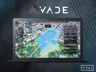
Following the bIackshark.ai and Bohemia Interactive Simulations’ (BISim) partnership announced last year, the companies are presenting at IT2EC its high-fidelity blackshark.ai SYNTH3D terrain data fully integrated into VBS4.
This content, covering the entire globe, showcases terrain, buildings, and vegetation with rich details derived from satellite imagery, significantly enhancing the realism of urban landscapes in VBS4, according to BISim.
Blackshark.ai´s AI-based rapid mapping and 3D terrain data generation solution turns current, large-scale and high-resolution satellite and sensor data into realistic and contextualized 3D simulation and training areas. As a result, built-up areas in VBS4 are now rendered with real-world accuracy. Semantic material information is also embedded, enabling realistic sensor simulation for the entire terrain out of the box.
Peter Morrison, CPO of BISim, said “We are excited to announce the availability of blackshark.ai terrain data in VBS, and it will open up new training use cases for both our desktop training and image generation products. The integration of blackshark.ai terrain data also highlights the flexibility of our Mantle terrain pipeline to ingest geo-specific source data and render it at high resolution, in multiple runtimes.”


